Campgrounds
Find horse-friendly campgrounds, trailheads, and staging areas.
State
Alvarado Campground
Westcliffe, CO
Campground Rating7 out of 10
WaterPortable pensCorralsHighlines
Trails from Campground
- Venable TrailDownload GPX
- Goodwin TrailDownload GPX
- Rainbow TrailDownload GPX
Photos
Notes
There are 5 equestrian sites at this campground.
Map & Directions
Open directionsDestination: 38.081522, -105.563232
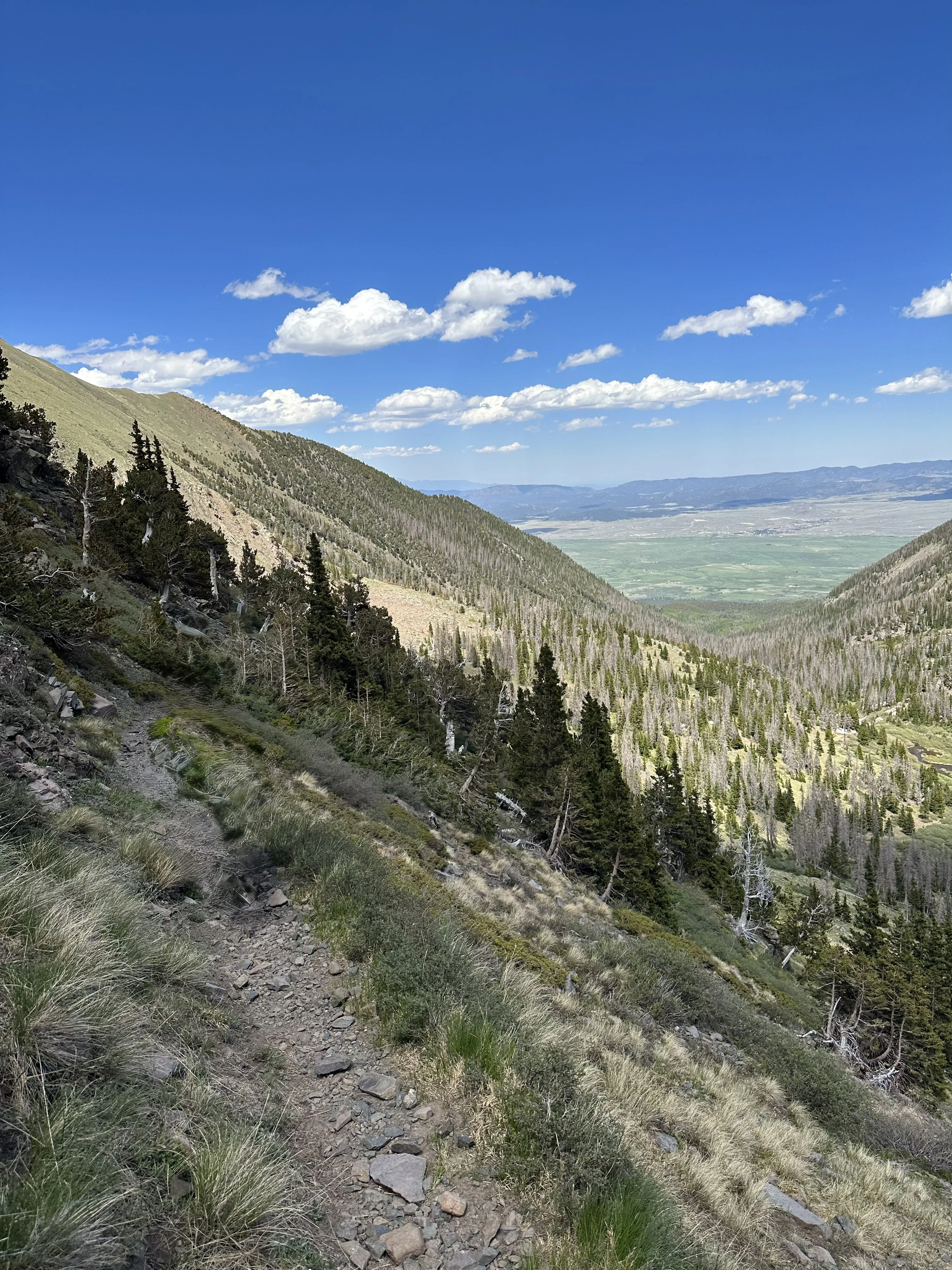
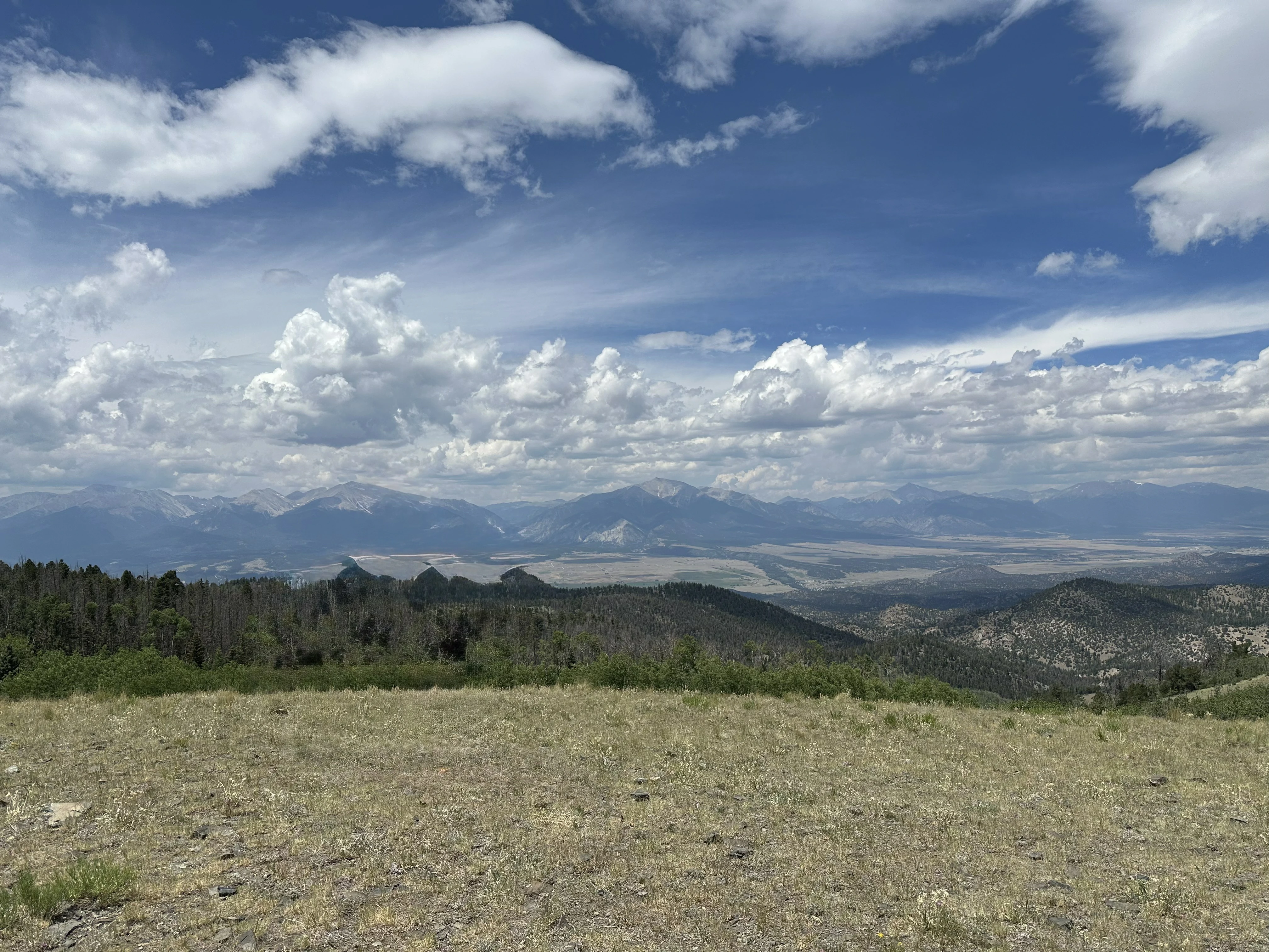
Aspen Ridge
Salida, CO
Campground Rating7 out of 10
WaterPortable pensCorralsHighlines
Photos
Notes
This is dispersed camping.
Map & Directions
Open directionsDestination: 38.74134, -105.93632
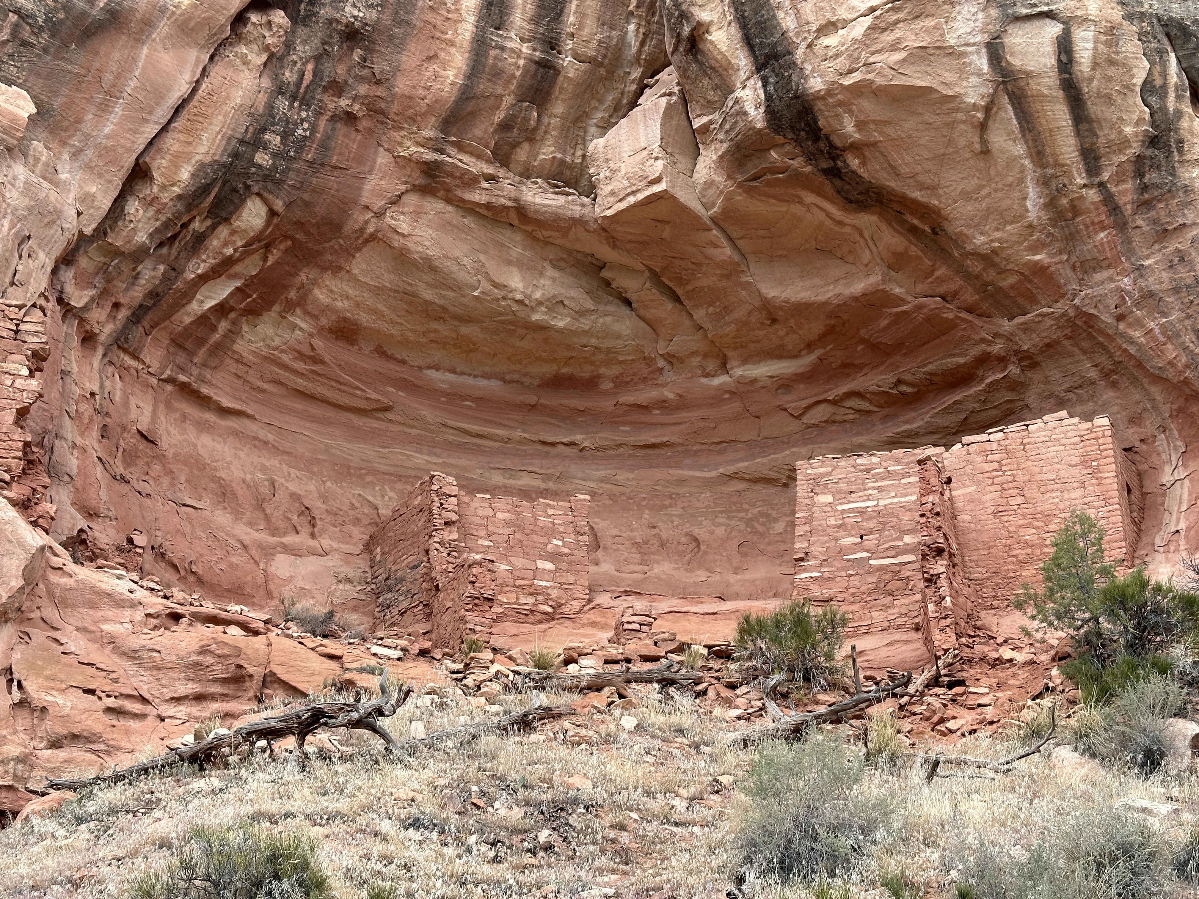
Canyon Trails Ranch - Canyon of the Ancients
Cortez, CO
Campground Rating6 out of 10
WaterPortable pensCorralsHighlines
Trails from Campground
- Rock Creek TrailDownload GPX
- Sand Canyon TrailDownload GPX
Photos
Notes
This is the campground you'll stay at to ride the Canyon of the Ancients. There are six equestrian sites at this campground.
Map & Directions
Open directionsDestination: 37.339447, -108.798321
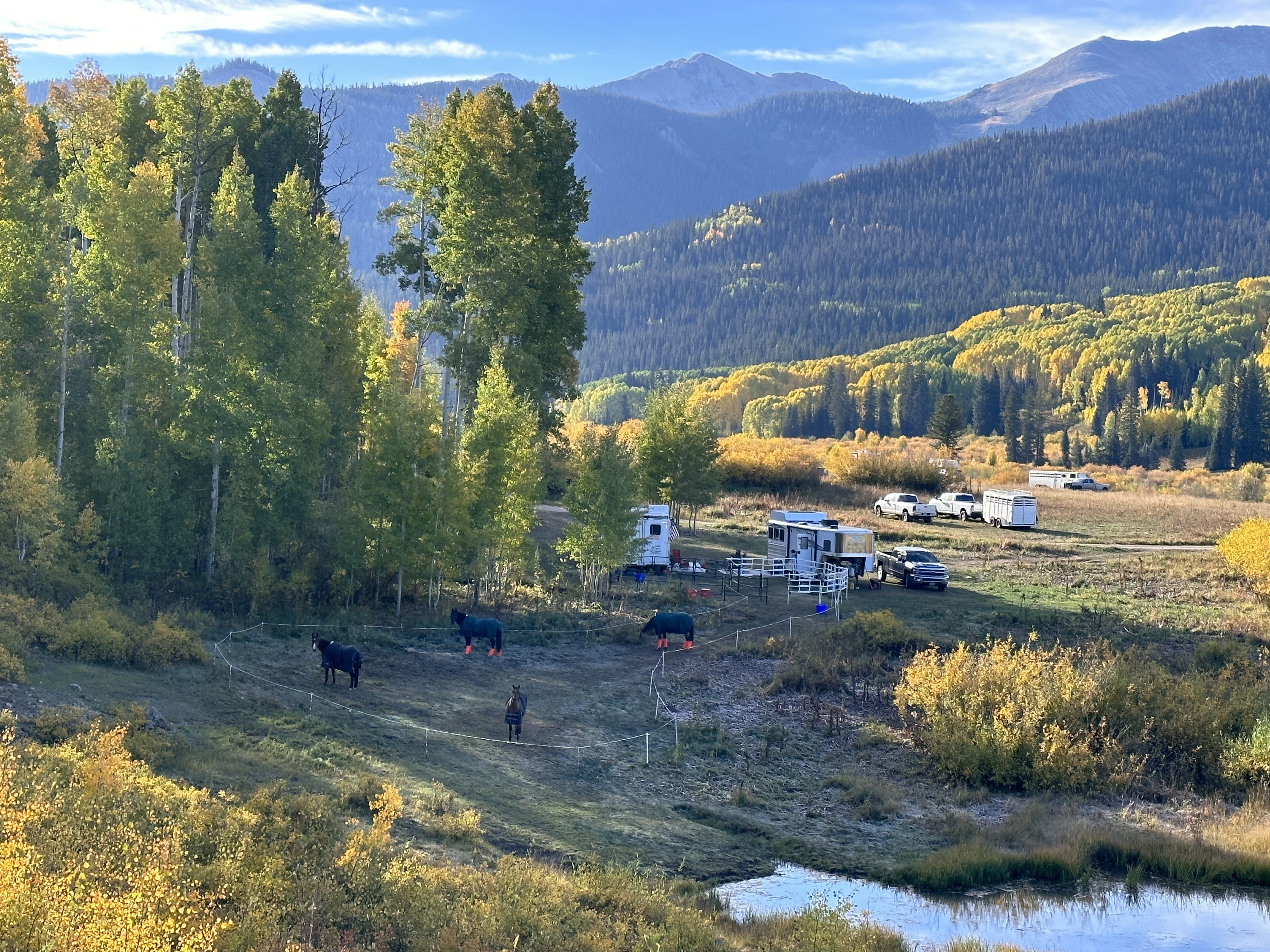
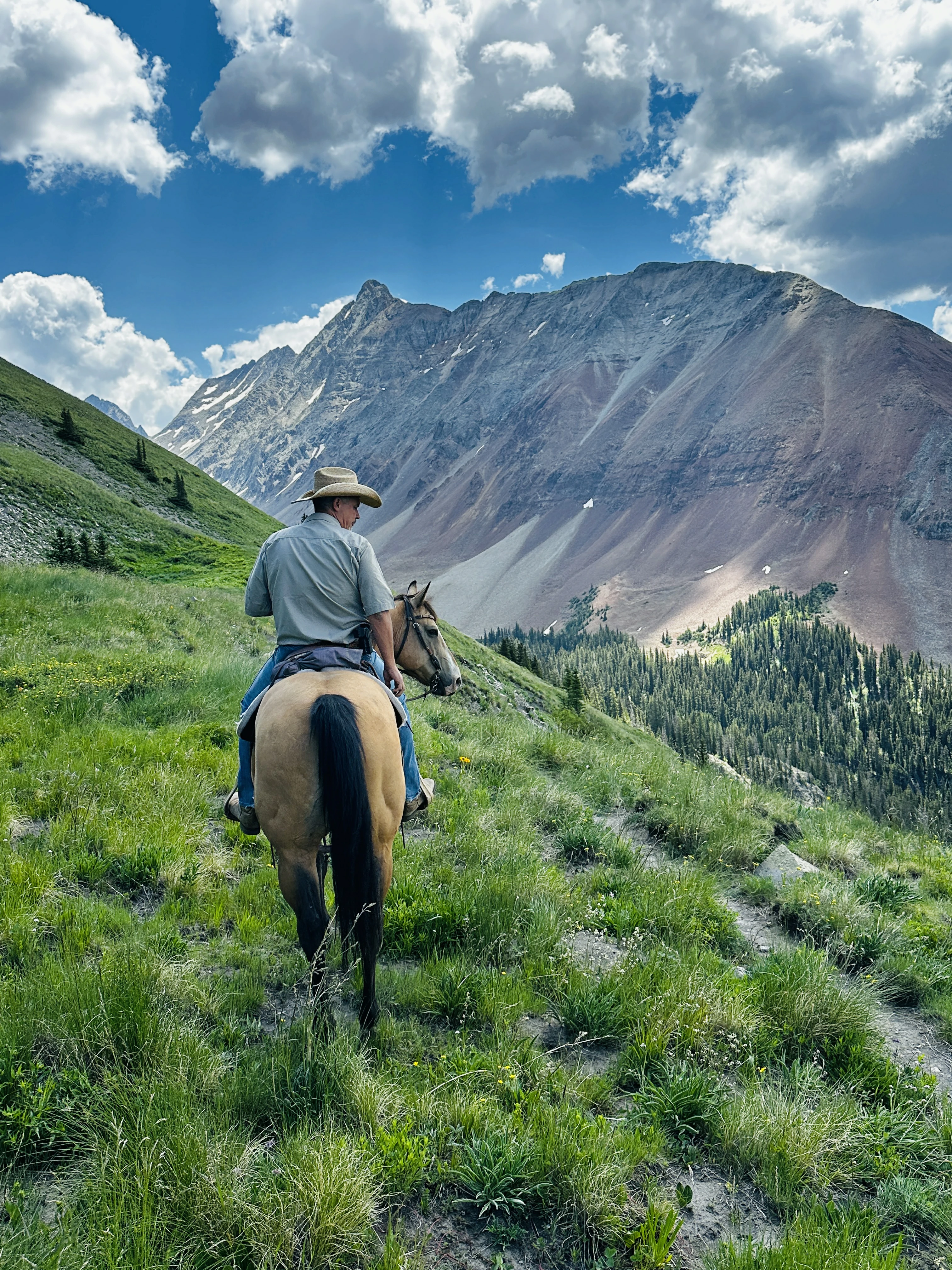
Horse Ranch Park - Crested Butte
Crested Butte, CO
Campground Rating8 out of 10
WaterPortable pensCorralsHighlines
Trails from Campground
- Cliff Creek To Lost LakeDownload GPX
- Dark Canyon TrailDownload GPX
- Dyke Trail To Dark CanyonDownload GPX
Photos
Notes
This is dry camping in designated camping area. There is no water, but there is a stream nearby (500 ft) where you can pump water into containers if you run out.
Map & Directions
Open directionsDestination: 38.863373, -107.161792
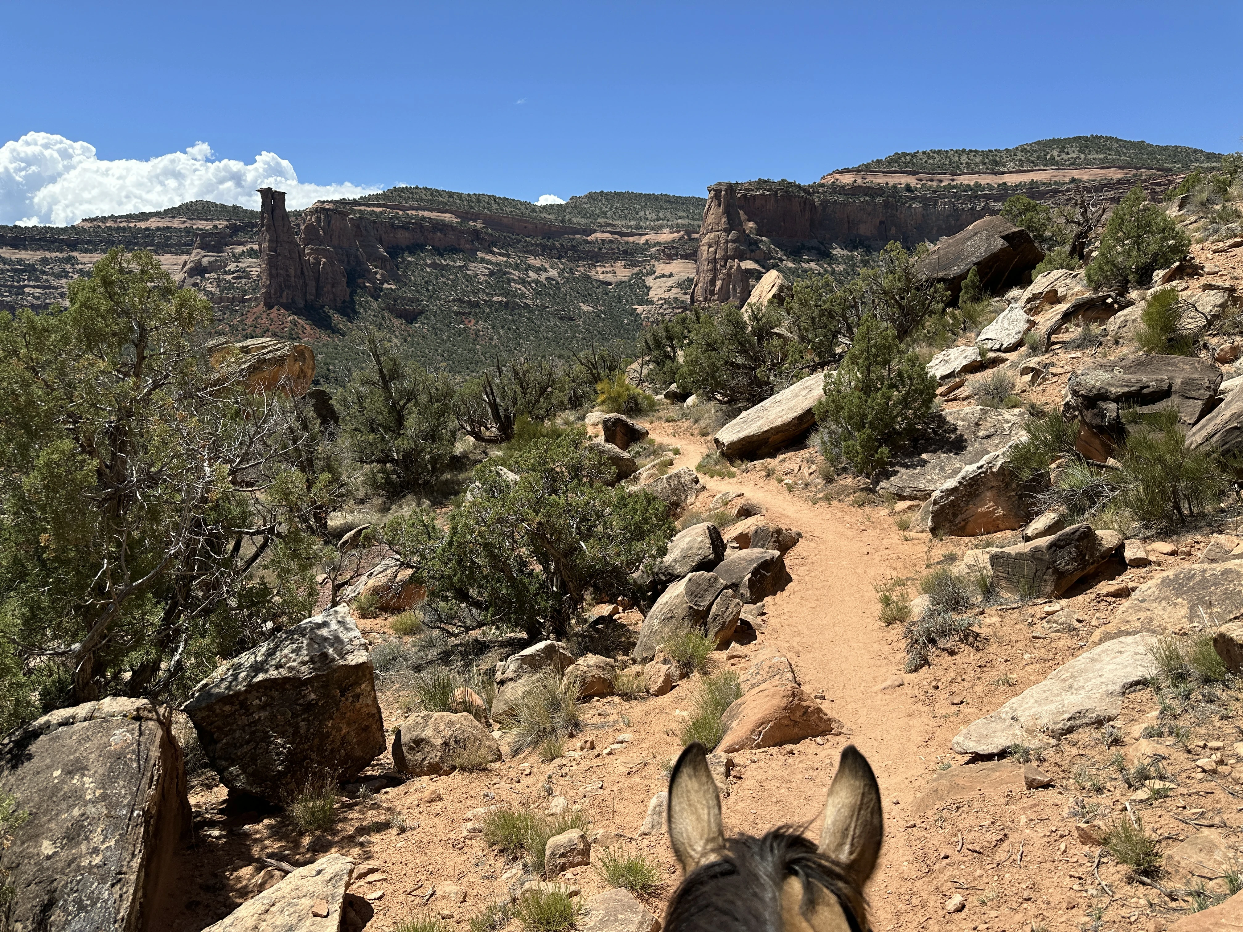
Mesa County Fairgrounds - CO National Monument & Dominguez Canyon
Grand Junction, CO
Campground Rating7 out of 10
WaterPortable pensCorralsHighlines
Trails from Campground
- Colorado National Monument TrailDownload GPX
- Dominguez CanyonDownload GPX
- Mcinnis Devils CanyonDownload GPX
Photos
Notes
Camping at Mesa County Fairgrounds and trailering out to the trailheads.
Map & Directions
Open directionsDestination: 39.035222, -108.530932
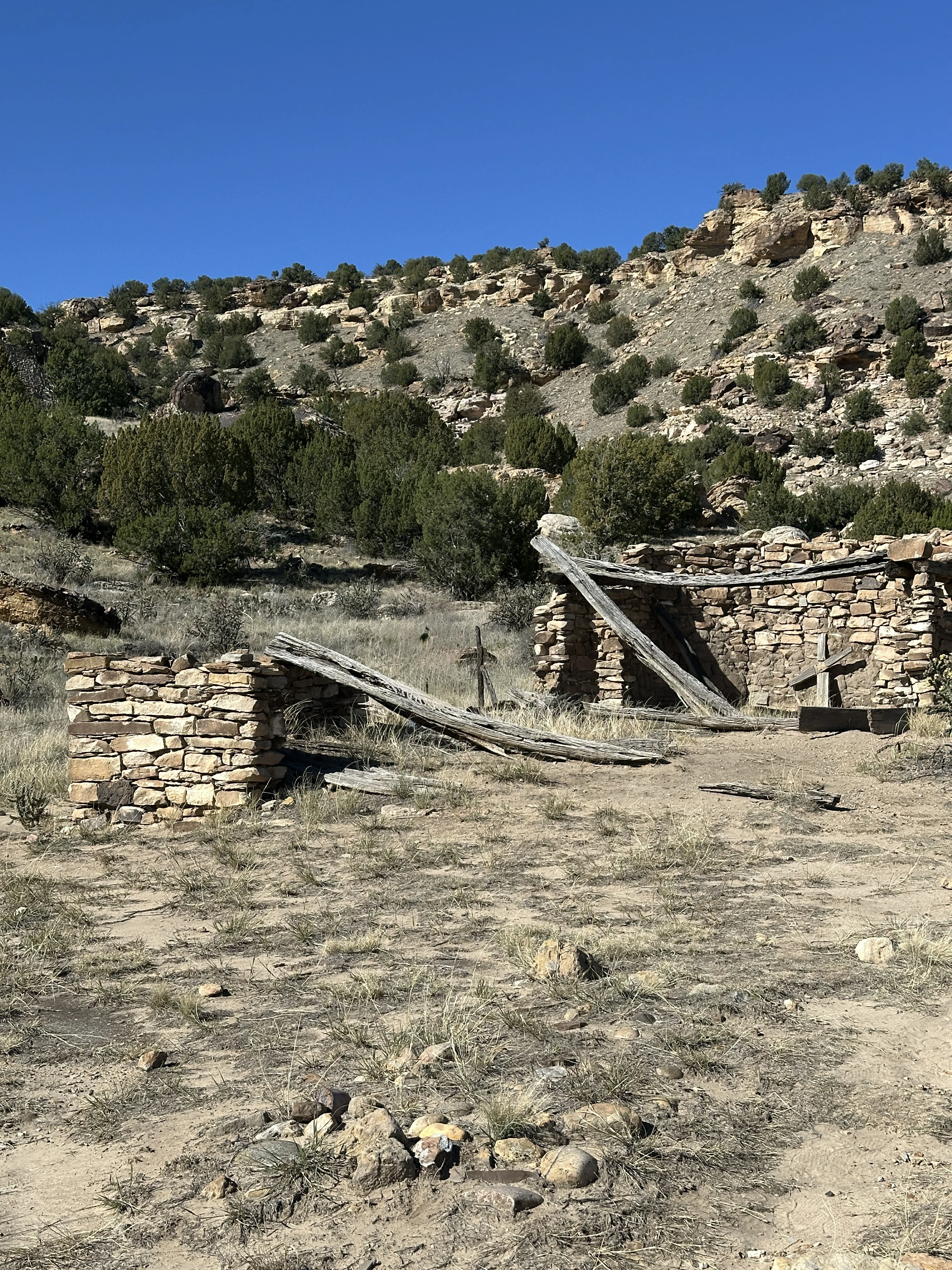
Picket Wire Trail - Dinosaur Tracks
Kim, CO
Campground Rating6 out of 10
WaterPortable pensCorralsHighlines
Trails from Campground
- Picket Wire Dino TracksDownload GPX
Photos
Notes
Camping at Picket Wire Trailhead offers peaceful, primitive sites with starry nights and curious cattle visitors. Horseback riding to the dinosaur tracks is a leisurely adventure through stunning canyons, revealing ancient wonders.
Map & Directions
Open directionsDestination: 37.660073, -103.571024
Woods Lake - Telluride
Telluride, CO
Campground Rating5 out of 10
WaterPortable pensCorralsHighlines
Trails from Campground
- Woods Lake To Navajo LakeDownload GPX
- Woods LakeDownload GPX
Photos
Map & Directions
Open directionsDestination: 37.886981, -108.054181
Fort Robinson State Park
Crawford, NE
Campground Rating8 out of 10
WaterPortable pensCorralsHighlines
Map & Directions
Open directionsDestination: 42.662956, -103.461261
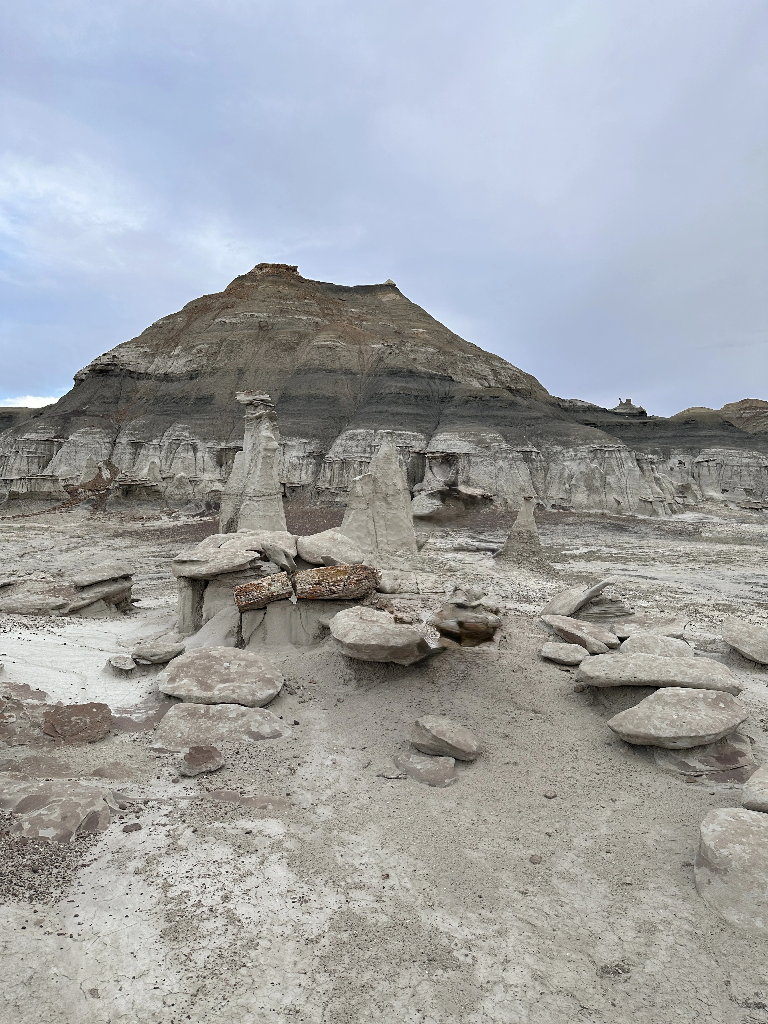
Bisti Badlands
Farmington, NM
Campground Rating5 out of 10
WaterPortable pensCorralsHighlines
Trails from Campground
- Bisti Badlands Bisti Trail Petrified TreesDownload GPX
- Bisti Badlands Bisti TrailDownload GPX
- Bisti Badlands Stone WingsDownload GPX
Photos
Notes
The Bisti Badlands (Bisti/De-Na-Zin Wilderness) isn't in a city but is located in northwestern New Mexico, about 40 miles south of the city of Farmington, New Mexico, accessible via State Highway 371 and a gravel road. It's a remote, undeveloped wilderness area known for unique hoodoos and petrified wood. There is no designated camping site and you'll need to put up some sort of horse containment. The ground is too hard to drive in hot wire posts.
Map & Directions
Open directionsDestination: 36.266177, -108.252097
Broken Arrow Horsecamp
Custer, SD
Campground Rating10 out of 10
WaterPortable pensCorralsHighlines
Map & Directions
Open directionsDestination: 43.714966, -103.579257